Select Page


About
Pikeville

Demographics

History

Location

Picturing
Pikeville

Calendar of Events

Pikeville, Tennessee

AARP Livable Communities Grant Award

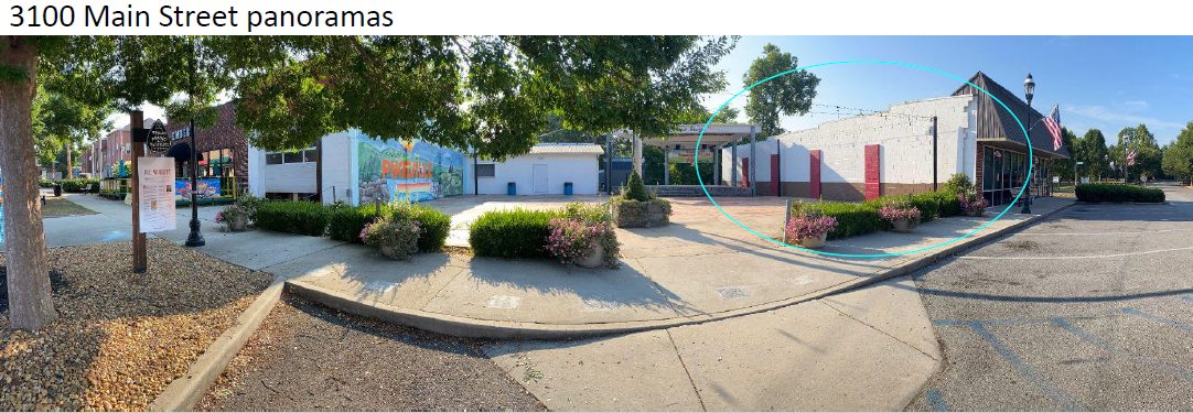
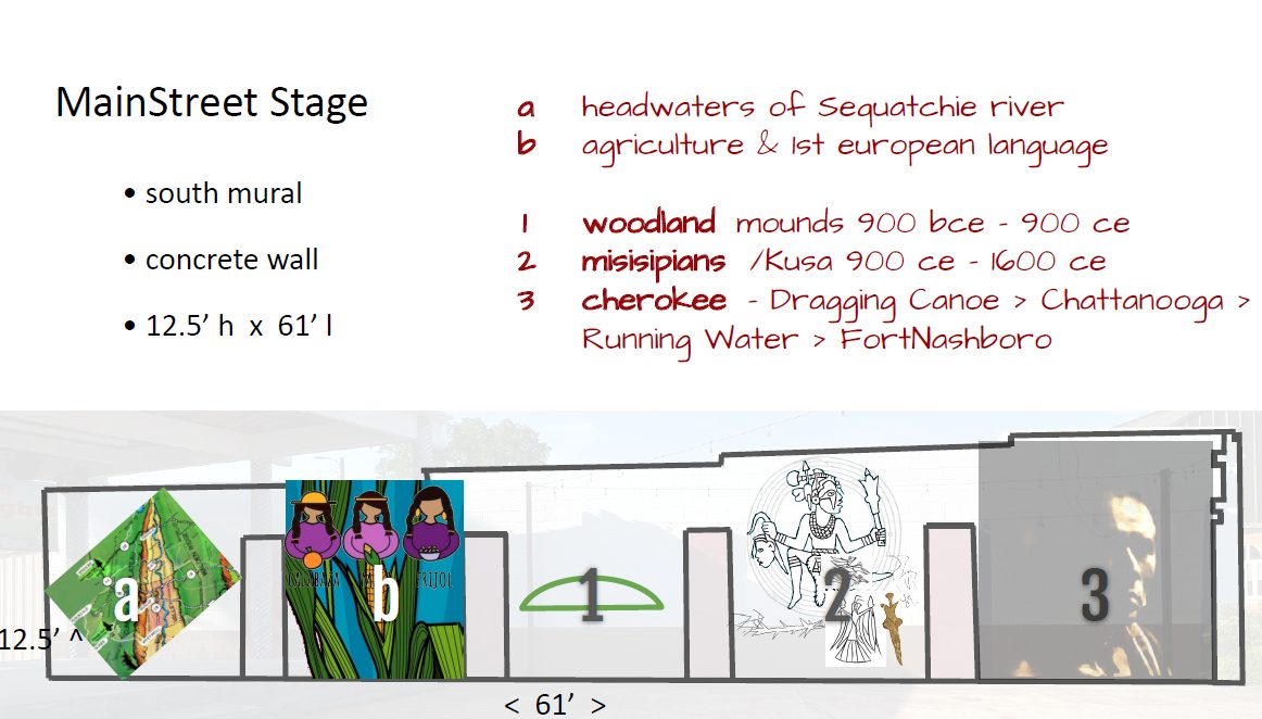
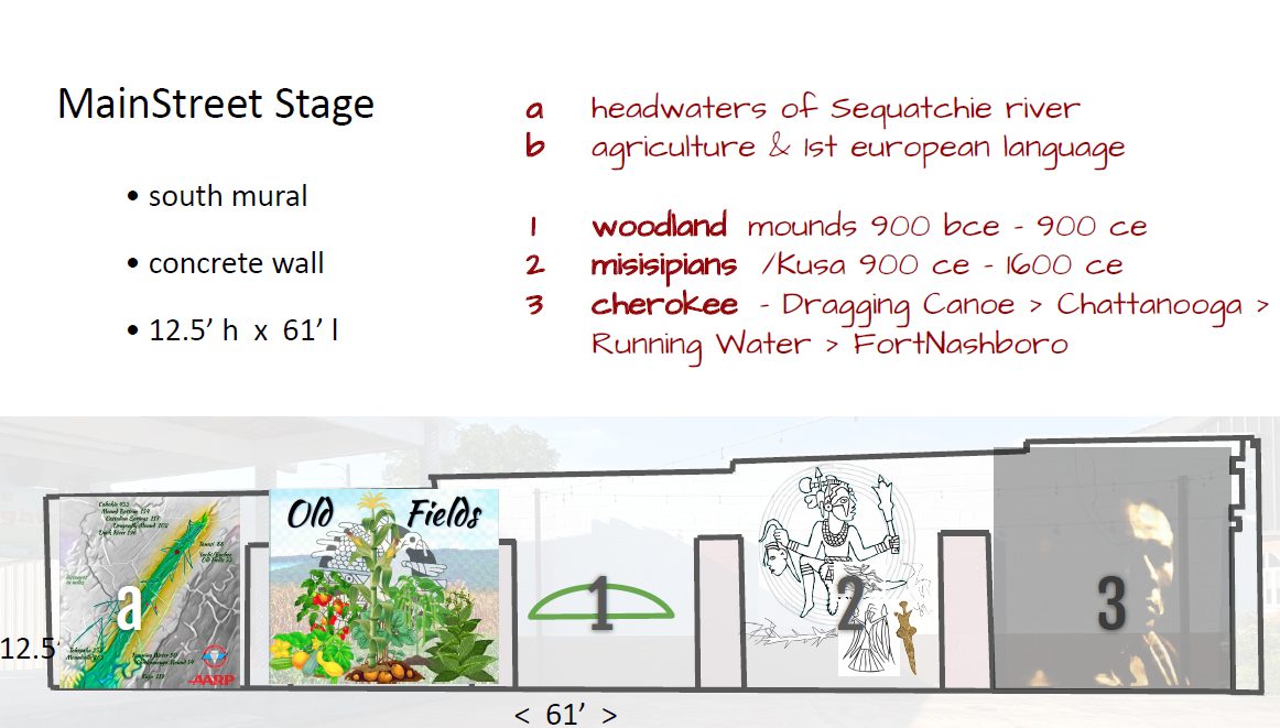
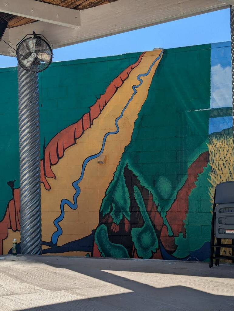
The City of Pikeville is excited to announce that we have been selected as a recipient of the AARP Livable Communities Grant award in the amount of $12,000.  These funds will be used to create a mural of local indigenous history on the southern wall beside the Main Street Stage, facing the ‘Welcome to Pikeville’ mural.

The City of Pikeville is committed to creating a more livable and inclusive community for all residents, and this mural is just one of the many projects aimed at enhancing the quality of life for its citizens. We are looking forward to working with a selected artist, skilled with creating Native American art, and community members to bring this project to life.

This new mural is set to showcase the unique ancient history of Pikeville, celebrating the community’s past, present, and future; and will truly reflect the heart and soul of our city.


Pikeville’s Impressive Indigenous History

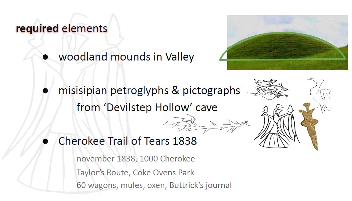
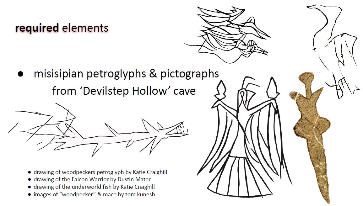
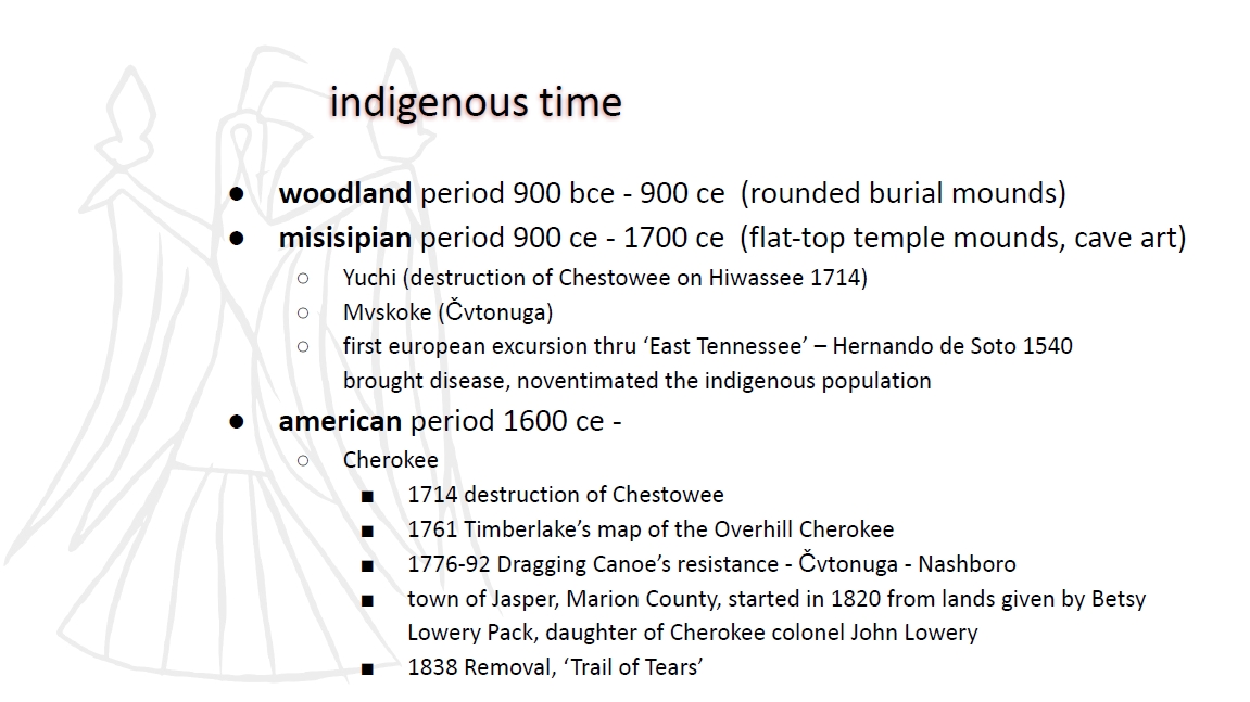
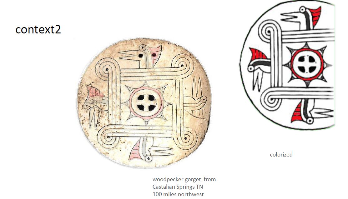
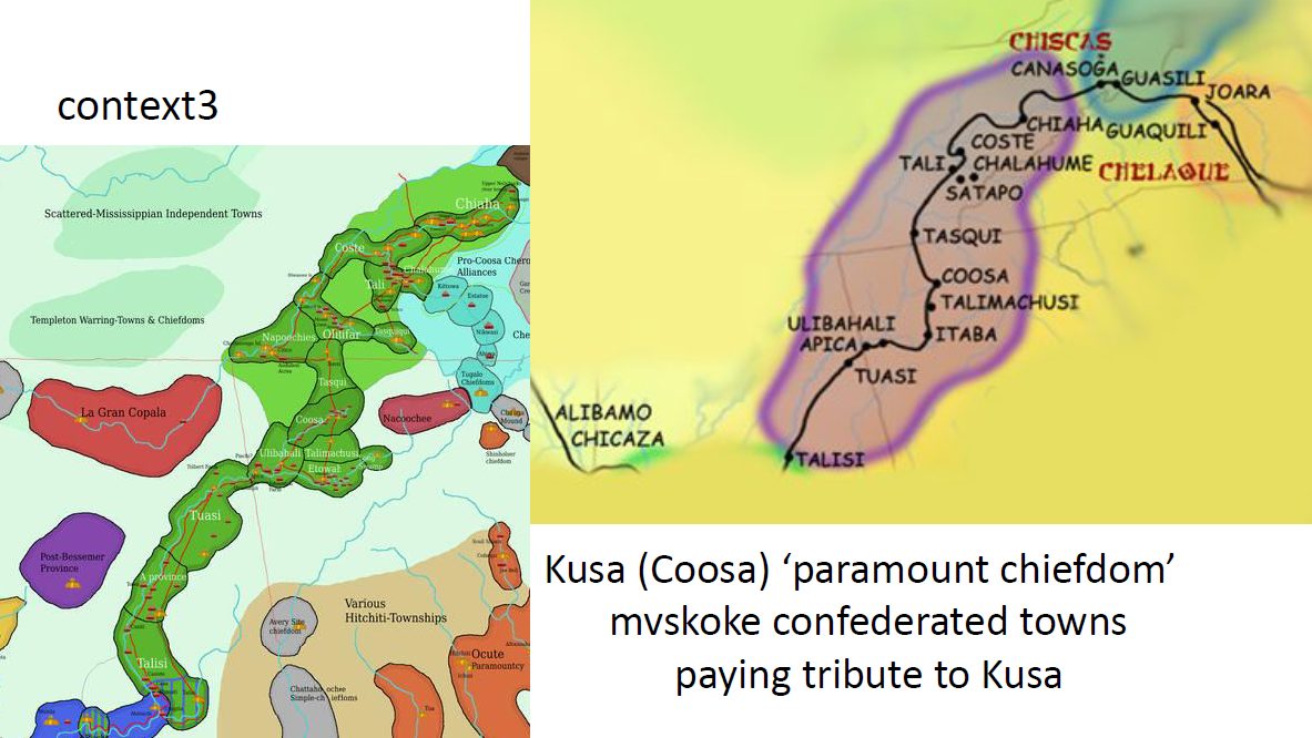
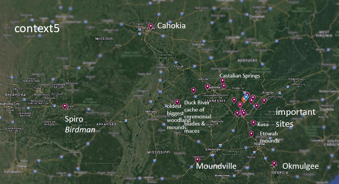
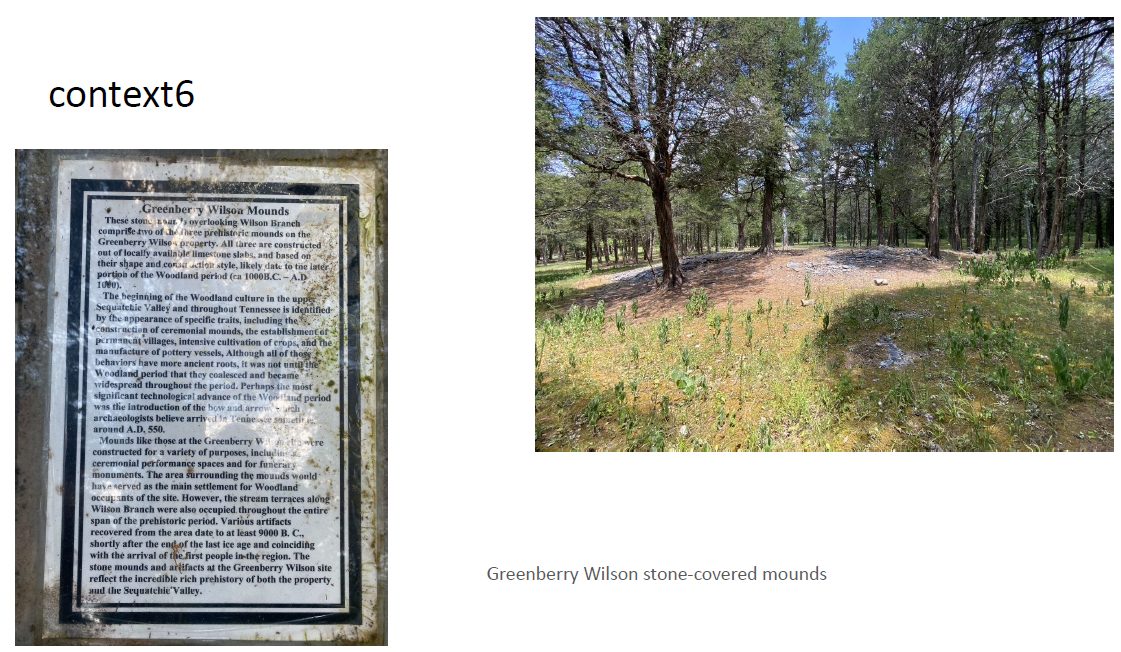
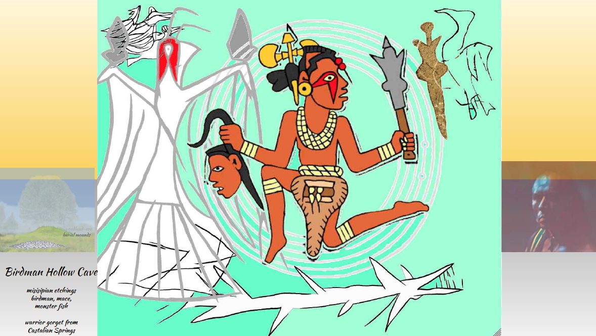
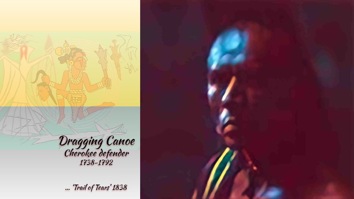
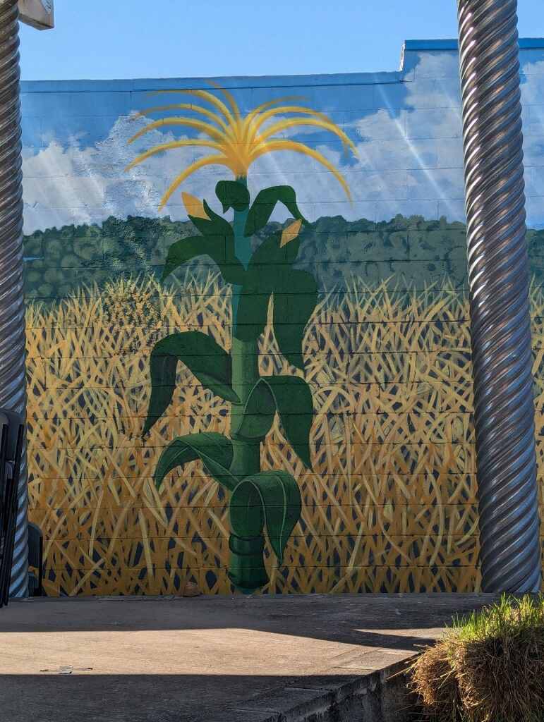
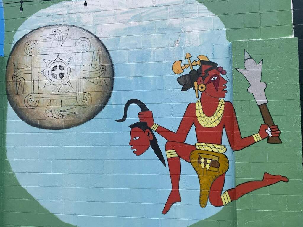
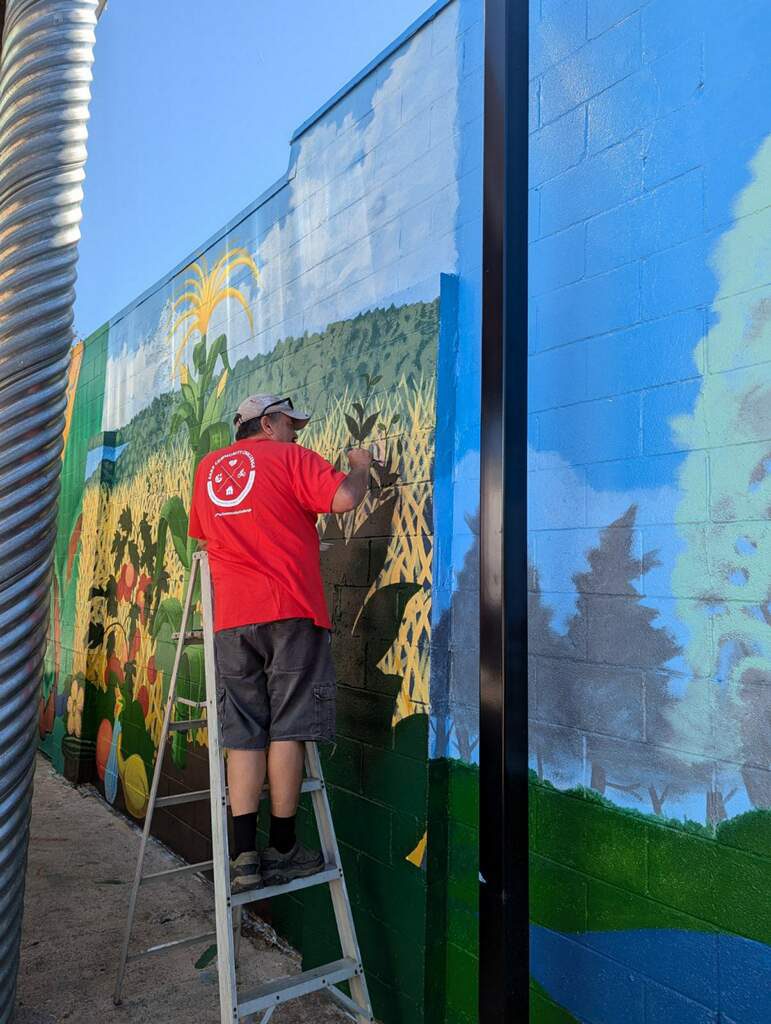
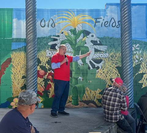
This mural will be designed to honor the unique history of the Sequatchie Valley around Pikeville, and to introduce visitors to the relatively unknown but most impressive art of this area, featuring the ancient drawings in the “Devilstep Hollow” cave. Panels will also include depictions of the Old Fields — the original agricultural plants that the ‘misisipian’ people (~900-1500 ce) grew; the stone and dirt burial mounds; gorgets from Castalian Springs 84 miles northwest of us that link this area to the Mvskoke people to southeast Georgia all the way up to northwest Illinois; and an imagined portrait of the greatest known resistance leader of indigenous people in the southeast of Turtle Island, Dragging Canoe of the Chickamauga Cherokee. This breathtaking masterpiece will capture the essence of resilience and strength, agriculture, art and war, depicting the livelihood and struggle faced by local indigenous tribes, particularly the Yuchi and the Muscogee, before their forced relocation before the Cherokee Removal.

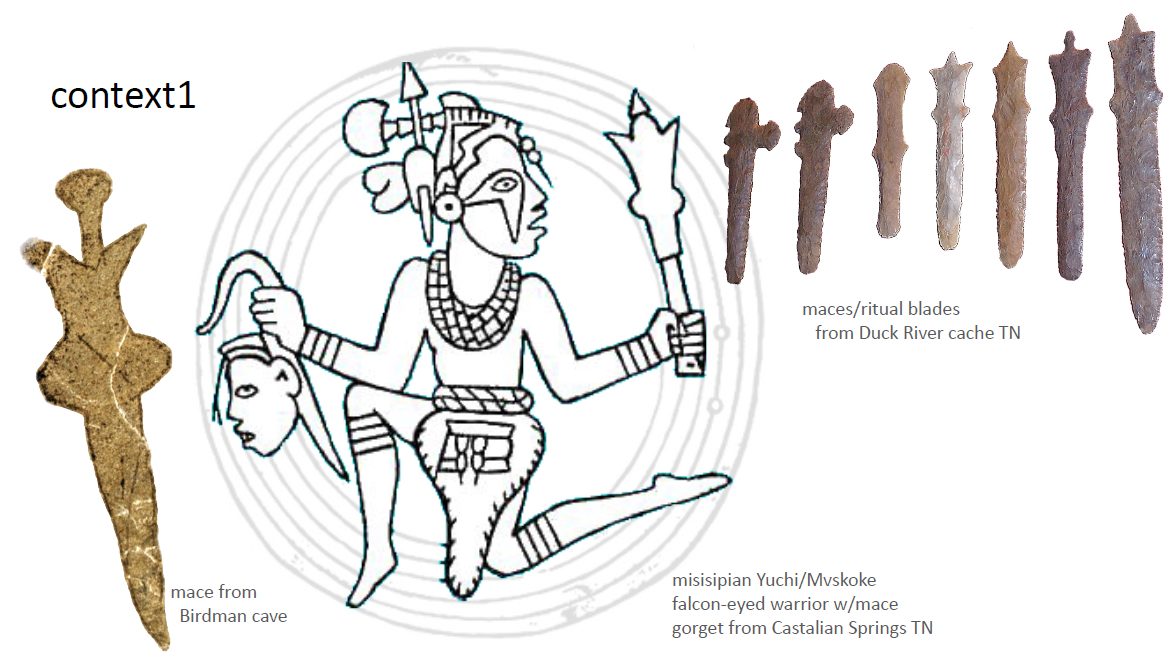
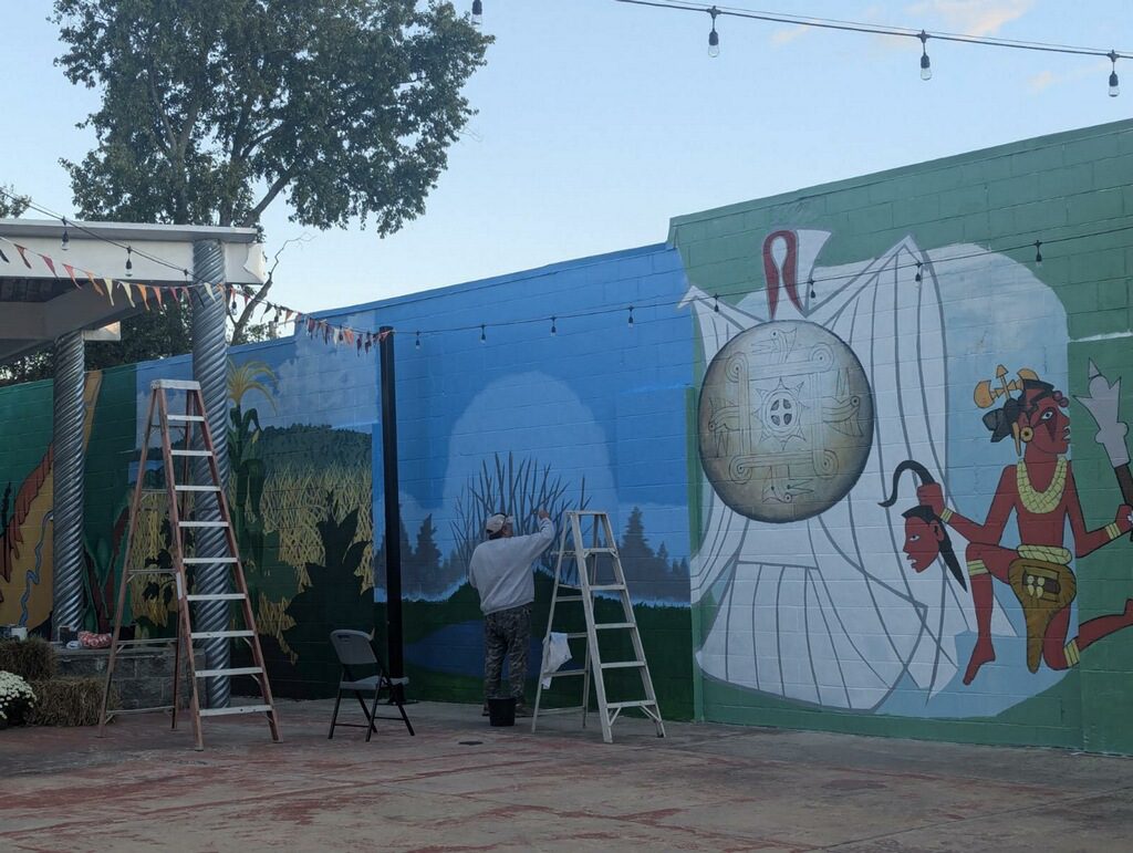
As the most dramatic element of the mural, the scene of a misisipian/muscogee warrior from a nearby gorget, will stand with battle mace upraised in left hand, holding the head of a vanquished foe in the left. The mace that the warrior holds is a twin of the mace inscribed in the wall of ‘Devilstep Hollow’ cave 20 miles north of Pikeville, and sibling to maces found among the Duck River cache of ceremonial stone swords and maces. This and other images from the cave, like Birdman and Fishmonster, are the most impressive examples of local indigenous art and will serve as a large-scale art and history visual textbook for our Bledsoe County youth, acknowledging the depth of history in our town, and also our pride as caretakers in this historical trust.

The second most dramatic element of the mural will be the abstract silhouette of Dragging Canoe, to serve as a powerful reminder of a painful chapter in American history that has often been overlooked: indigenous resistance to european immigration. For individuals who have already lived through various societal changes and witnessed the struggles of marginalized communities in the 20th and 21st centuries, this mural will provide a much-needed perspective into the past, and deepen our understanding of the “racial cleansing” of Yuchi, Muscogee and Cherokee peoples by migrating European Americans. It will provoke opportunities for dialogue and inter-racial and inter-generational learning, as older settler white families share their own experiences, and encourage empathy and compassion in younger generations.

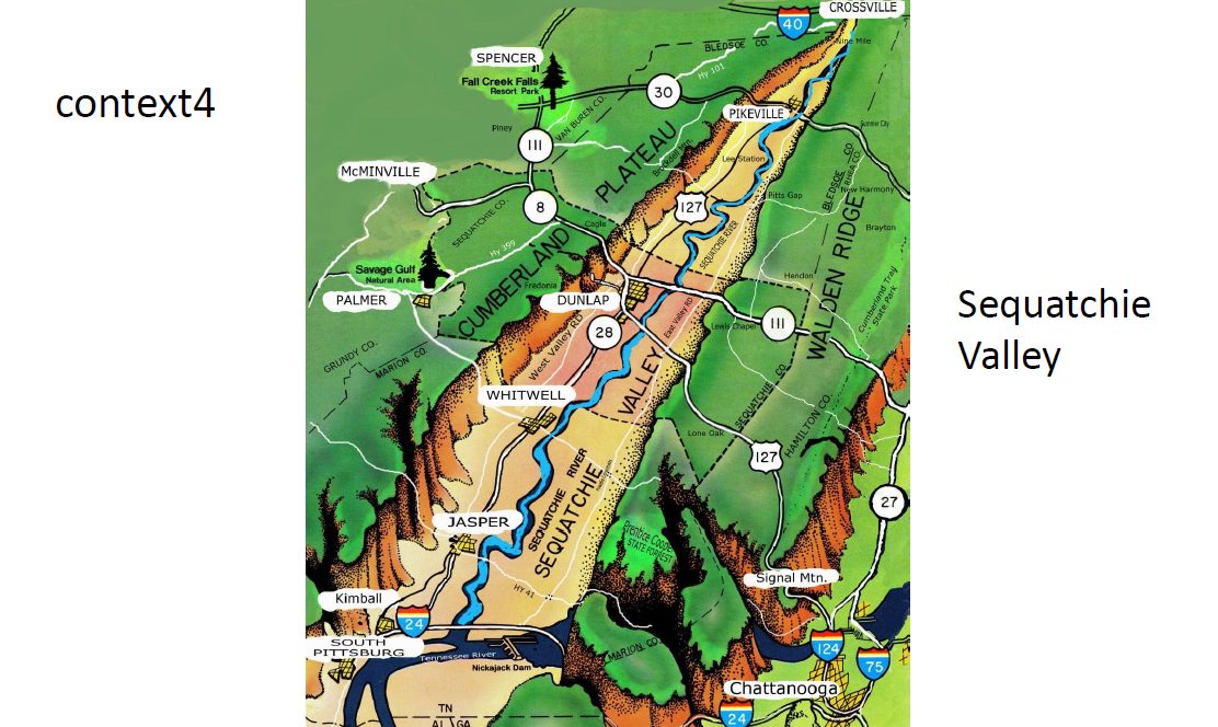
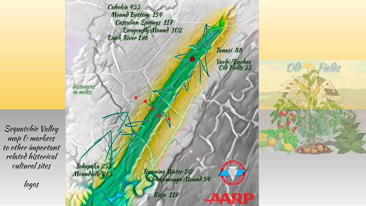
Part of the mural serves as a map of the Valley, including the two crossing points of the 1838 Removal of the Cherokee, now designated the national Trail of Tears, on their way from the east side of the Tennessee River, across the Sequatchie Valley and Cumberland Plateau, to Oklahoma. It also serves as a travel guide for future educational pilgrimages to the other indigenous sites that help place Pikeville’s indigenous history in the larger modern cultural context honoring our diversity.
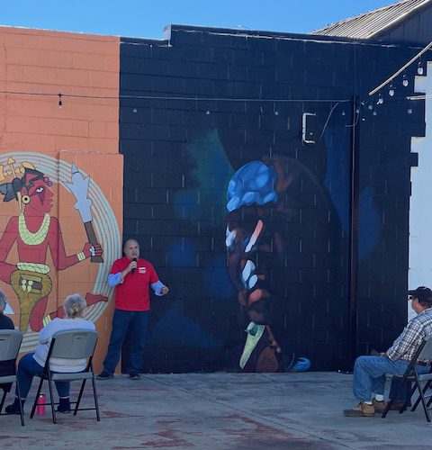
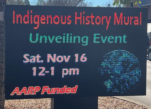
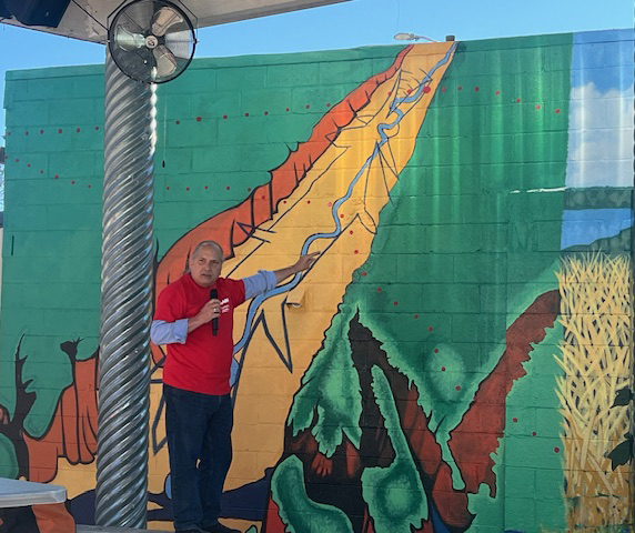
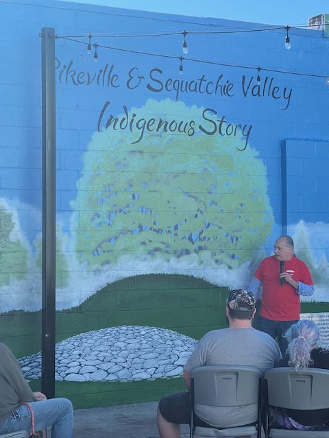
Indigenous History Mural Unveiling

The Indigenous History Mural serves as a powerful tribute to the indigenous peoples who once inhabited the lands of Pikeville. Through the careful research and design of Tom Kunesh, the mural brings to life the stories and traditions of the local tribes that have long been overlooked and marginalized. The intricate details and symbolism depicted in each panel of the mural offer a glimpse into the daily lives and struggles of these indigenous communities, shedding light on their rich cultural heritage.

As the community gathered to witness the unveiling of the mural on Saturday, November 16th, there was a sense of pride and unity among those in attendance. The artwork serves as a reminder of the importance of honoring and preserving the history of the indigenous peoples who have called this land home for generations. Through this mural, the residents of Pikeville have a visual representation of the resilience and strength of the indigenous communities that have shaped the city’s identity.
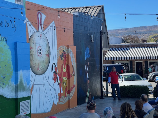
The Indigenous History Mural stands as a testament to the lasting impact of the indigenous peoples on the history and culture of Pikeville. It serves as a reminder to not only recognize and acknowledge the past, but to also celebrate the diversity and heritage that continues to shape the community today. This mural will serve as a lasting legacy, inspiring future generations to learn about and appreciate the contributions of the indigenous peoples who have played a vital role in the history of Pikeville.

Watch the Progress…

We are excited to showcase the ongoing progress of the Trail of Tears mural right here on our website.  Be sure to check back frequently for updates as our talented artists begin to work tirelessly to bring this important piece of history to life.

Follow along as we capture the evolution of this powerful mural and join us in commemorating the journey of the Cherokee people on the Trail of Tears.

The slides below are the “prep” work to the designing of our Mural.  Stay tuned for more updates and be a part of this meaningful project!

REFERENCES

Trail of Tears

  1. Bledsoe County – Northern Route               40BS95, 40BS96                96 – 2000
  2. Sequatchie County – Taylor & Brown             40SQ106, 40SQ107         107 – 2000

– research by tom kunesh, october 2024

One of the earliest maps to show the removal routes was that drawn by Grant Foreman in 1932 (Foreman 1956). Foreman, using information available to him at the time, showed only two routes for the Cherokees: the river route and the Northern route. The water route, used by four detachments, followed the Tennessee River to the Ohio, thence the Mississippi, and finally the Arkansas River. The Northern Route, used by the majority of the Cherokees, started near the Cherokee Agency in what is now Charleston and passed over Walden’s Ridge, through the Sequatchie Valley, over the Cumberland Mountain, and through McMinnville, Murfreesboro, Nashville, and Port Royal, then into Kentucky. It is now known that other routes were also used.
———–
https://www.tn.gov/content/dam/tn/environment/archaeology/documents/reportofinvestigation s/arch_roi15_trail_of_tears_2001.pdf

From Blythe’s Ferry the Northern Route went northwestward following what is today the Blythe Ferry Road (State Route 60). A newer road has cut off parts of this earlier road. The route went through Dayton and Morgantown. “Morgantown Cross Roads” is shown on the 1832 Matthew Rhea map in this same area, and the 1839 postal route map shows “Smith’s Cross Roads.” From Morgantown the route went south and west of Dutchman’s Knob toward Cumberland Spring as it ascended Walden’s Ridge. An early 20th century version of this road is shown on a 1909 15′ series Sequatchie Valley quad map (USGS, 1909). The route followed part of what is now the Ogden Road then what is now a private farm access road over to what is now Manning Road. Manning Road goes westward to the county line. The road becomes a gravel road and continues westward becoming a private farm road and ending above Lloyd Gap. The old road through Lloyd Gap is shown on the 1909 Sequatchie Valley quad map (USGS, 1909), though the more recent version of the quad map shows the road as simply a trail. The route crossed the Sequatchie Valley about four miles south of Pikeville, crossing the Sequatchie River at what is shown as Hembree Mill on the 1909 quad. Little archival information concerning this mill has been found, but remains of the millrace and buildings are still visible. It is not known if there was a mill at this location in 1838, but mills often became crossing places on rivers. Hembree Mill is not shown on the 1895 Pikeville quad (USGS, 1895) but there is a road leading to the river at this point on the west side of the river (the mill being on the east side). The 1935 Pikeville quad (USGS, 1935) shows “Hembree Ford” at the mill location. The route continued through Lee’s Station where it ascended the escarpment to the Cumberland Plateau on what was Higgenbotham’s Trace. The route passed to the south side of Tucker Knob and passed Rainey Cemetery. At Old Cumberland the road is close to Hill’s Trace to the south, an alternate route that may have been used by some of the detachments. This may have been a place where travelers could cross from one road to the other. From here the route of Higgenbotham’s Trace went to the northwest, crossing Fox Thicket Creek south of Wright Mountain. The route passed into Van Buren County just north of Hitchcox Cemetery.

———–

Taylor’s & Brown’s Route (south of Dunlap)

Taylor’s Detachment departed from the camps near Vann’s Plantation on November 1, 1838 and crossed the Tennessee River.

Richard Taylor and James Brown led detachments of Cherokees in 1838, but their beginning point was from camps in the vicinity of Ross’s Landing [Chattanooga]. These camps were located four miles above Ross’s Landing in the area south of South Chickamauga Creek. Today this area has been extensively impacted by industrial development. Besides Taylor and Brown’s detachments, it is evident that three detachments taking the river route used these camps. On September 16, 1838 Colonel William Gates of the 3rd Artillery stationed at Missionary Hill wrote to Captain Robert Anderson stating that 1,390 Cherokees and 218 Creek Indians (these were Creeks who had been accepted into the Cherokee Nation) had drawn rations on the previous day and had left for a new camp eight miles away (King 1999:Section 1, p. 75). The Creeks were leaving for Blythe’s Ferry the next day to join Elijah Hicks Detachment.

From the county line the route follows Henson Gap Road, where Poe Road and Mowbray Road converge, to Henson Gap where the road descends from the ridge into Sequatchie Valley. Reverend Daniel Butrick, a missionary who accompanied Taylor’s Detachment, referred to the Sequatchie Valley as “the Vale of Sodom” (Butrick 1839:43). He felt that the people here were “wicked exceedingly” as they gathered around the Cherokee camps to sell liquor to the Indians. The route crosses the Sequatchie Valley near Dunlap and ascends the Cumberland Plateau on Fredonia Road, which then proceeds northwestward to an intersection / with Artillery Road (State Route 399). The route proceeds northwestward and follows what are now fragments of trails and unimproved roads until the route intersects with what was Savage Turnpike at the Van Buren County line. From here the detachment probably followed the Savage Turnpike into Warren County and then turned northward toward McMinnville where they followed the Northern Route described above.

Trail of Tears 1838 routes • TN Division of Archaeology

https://www.tn.gov/content/dam/tn/environment/archaeology/documents/reportofinvestigation s/arch_roi15_trail_of_tears_2001.pdf

BLEDSOE COUNTY              40BS95, 40BS96          Trail of Tears Route Removal Route 2000

SEQUATCHIE COUNTY      40SQ106, 40SQ107     Trail of Tears Removal Route 2000

1935 Pikeville, Tennessee, Quadrangle Map. 15 Minute Series. U.S. Geological Survey, Washington, DC. Microfilm, Tennessee State Library and Archives.

1909 Sequatchie Valley, TN, Quadrangle Map. 15 Minute Series. U.S. Geological Survey, Washington, DC. Microfilm, Tennessee State Library and Archives.

1895 Pikeville, TN, Quadrangle Map. 15 Minute Series. U.S. Geological Survey, Washington, DC. Microfilm, Tennessee State Library and Archives.

———————————–

14 of 17 detachments walked, 3 went by river

11 of 17 detachments of the Trail of Tears Cherokee groups traveled on “the Northern Route”

9 detachments left from Blythe’s Ferry, 2 from Ross’ Landing (Chattanooga)

2 detachments took Taylor’s Route, crossing the Sequatchie south of Dunlap (Taylor & Brown)

…which means 9 of the 11 detachments that took the Northern Route crossed the Sequatchie at Hembree Mill, ~4 miles south of Pikeville . . . 9,829 Cherokee & Mvskoke

Northern Route: Cherokee Agency > Blythe’s Ferry > Dayton > Morgantown > Cumberland Spring > Walden’s Ridge > Lloyd Gap > Hembree Mill > Lee’s Station > Higgenbotham’s Trace > McMinnville

Northern Route Detachments • Hembree Mill (Pikeville) • persons

1 Hair Conrad 729
2 Elijah Hicks 858 (w/218 creeks)
3 Bushyhead 950
5 Situwakee 1,250
6 Old Field 983
7 Moses Daniel 1,025
8 Choowalooka 1,150
10 George Hicks 1,118
12 Peter Hilderbrand 1,766
9,829
9 Brown 850
11 Taylor 1,029

11,708

Northern Route Detachments • departures •

aug 23, sep 1, 3, 7, 10, 14, 20, 24, 28, 30, nov 10 

  1. Hair Conrad / Colston detachment – 23 aug 1838
  2. Hicks, Elijah / White Path detachment – 1 sep 1838
  3. Bushyhead, Jesse / Roman Nose detachment – 3 sep; 16 oct 1838 Blythe’s Ferry
  4. Benge, John / George Lowery – 28 sep
  5. Situwakee / Evan Jones – 7 sep
  6. Old Field / Stephen Foreman – 24 sep
  7. Daniel, Moses / George Still – 30 sep
  8. Choowalooka / Tsuwaluka / Thomas Clark / JD Wofford – 14 sep
  9. Brown, James – 10 sep – crossed the valley near Dunlap (Taylor’s Route)
  10. Hicks, George / Collins McDonald – 7 sep
  11. Taylor, Richard / Red Watt Adair – 20 sep – crossed the valley near Dunlap (Taylor’s Route)
  12. Hilderbrand, Peter / James Hildebrand – 10 nov 1838 Blythe’s Ferry, 5 dec

15,949 cherokee departed, ~ 11,504 arrived

~71 births, ~447 deaths, ~182 desertions, ~191 accession

~1,700 cherokee took Taylor’s Route, crossed south of Dunlap

Taylor 1,209

Brown 850

~11,708 Cherokee & Mvskoke people crossed thru Sequatchie Valley, 84% thru Hembree Mill

The Trail of Tears in Tennessee: A study of the routes used during the Cherokee Removal of 1838, Benjamin Nance 2001

National Register of Historic Places, Multiple Property Documentation Form: Trail of Tears, Philip Thomason, Nashville 2002

Bill Jones researched, burnt

Aaron Mahr, NPS National Trails Intermountain Region Office, Santa Fe, New Mexico

book: Duane King, the Cherokee Trail of Tears, David Fitzgerald (photos) 2007

Bledsoe County est. 1807, records start in 1909 (fires in 1882, 1895, 1908)

Sequatchie County (was part of Hamilton) records start in 1858 (census 1810)